Most anglers arrive at an unfamiliar lake and fish whatever looks good from the ramp. That approach works occasionally, and it wastes an enormous amount of time. A contour map — paper, chartplotter, or a free web app on your phone — tells you where the fish-holding structure is before you burn a tank of gas looking for it.
Reading a lake map is a genuinely learnable skill, and it is mostly about learning to see a three-dimensional lake bottom in a set of two-dimensional lines. Once it clicks, you can look at water you have never seen and pick out a dozen high-percentage spots in fifteen minutes at the kitchen table.
Contour Lines: The Foundation
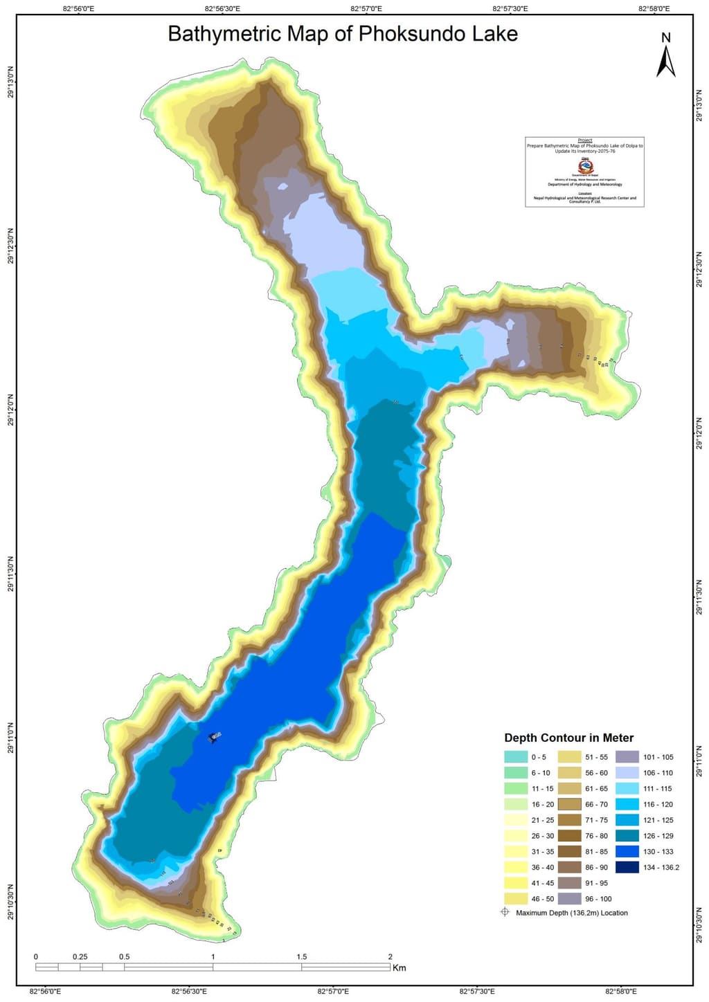
A contour line connects points of equal depth. Every point along the 20-foot line is 20 feet deep. Between lines, depth changes by a fixed interval — commonly 5 or 10 feet on lake maps, though it varies.
The single most important thing contour lines tell you is slope, and you read it from spacing:
- Tightly packed lines mean a steep drop. The bottom falls away quickly. Think bluff walls, dam faces, sharp channel edges.
- Widely spaced lines mean a gradual slope or a flat. A large area with almost no lines is a flat — a broad expanse of consistent depth.
- Lines that suddenly bunch up after being spread out mark a break — the point where a flat drops off into deeper water. This is the most fished feature in freshwater angling, and for good reason.
Fish relate to change. A featureless flat and a featureless basin both hold fewer fish per acre than the edge between them. Train your eye to hunt for places where the spacing of the lines changes.
The Features That Matter
Points
A point is land — above or below water — that extends out into the lake. On a map it shows as contour lines pushing outward from the shore in a nested V or U shape pointing toward deep water.
Points are magnets because they intercept fish moving between shallow feeding areas and deep holding water. Long tapering points, with widely spaced lines, are good for fish transitioning seasonally. Sharp points, with tightly packed lines, let fish access several depths without moving far and often hold fish year-round. Pay attention to the very tip, and to where the point intersects a channel or deeper contour — those junctions are the sweet spots.
Humps and Underwater Islands
A hump is a rise in the bottom surrounded by deeper water. On a map it appears as a closed loop of contour lines out away from shore — concentric rings that get smaller toward the center, with the shallowest depth in the middle.
Humps are excellent because they are isolated. A hump topping out at twelve feet in a thirty-foot basin is the only structure for hundreds of yards, and fish that use that basin will use that hump. Prioritize humps with a significant rise relative to the surrounding depth, steep sides shown by tight rings, and proximity to a channel or main-lake point.
Saddles
A saddle is the shallower connection between two deeper areas — the low ridge between two humps, or between a hump and a point. On a map it shows as a pinch where two closed contour features nearly touch, with the contour lines dipping between them.
Saddles function as underwater highways. Fish moving between two pieces of structure funnel through the saddle, which makes it a high-traffic ambush spot. They are commonly overlooked because they are not obvious features in themselves.
Channel Bends and Creek Channels
The old river or creek bed that existed before the lake was impounded still runs along the bottom, and it is one of the most reliable structural features on any reservoir. On a map it appears as a winding ribbon of tightly grouped contour lines snaking through the lake.
The best spots on a channel are the bends. On an outside bend, current historically scoured the bank steeper and deeper — that is where the contour lines pinch tightest. On an inside bend the bottom is shallower and flatter. Outside bends near cover, or where a creek channel swings in close to a point or a flat, are classic all-season spots.
Trace every creek channel on the map from the back of the creek arm out to where it joins the main river channel. Every bend, every junction with another channel, and every place the channel swings within casting distance of the bank is worth a mark.
Flats
A flat is a broad area with little depth change — few contour lines over a large area. Flats look boring on a map and often are, in the sense that fish are not scattered evenly across them. But flats are feeding areas, especially in spring, and fish use them heavily during specific windows.
The productive parts of a flat are its edges and its irregularities: where it drops off, where a channel cuts through it, where a small depression or rise interrupts it. Look for the one contour line that wanders across an otherwise blank area — that subtle change is where fish will be.
Drop-offs and Breaklines
A breakline is any distinct change in depth, and it functions as a boundary fish travel along. The primary breakline is usually the main drop from the shallow shelf to deeper water. Secondary breaks sit deeper.
The valuable detail is anywhere the breakline is irregular — a notch, a bump, a point along the drop. A perfectly straight breakline distributes fish along its length. An irregular one concentrates them.
Roadbeds, Foundations and Man-Made Structure
Many reservoirs flooded existing land, and older lake maps often show submerged roadbeds, bridges, house foundations, ponds, cemeteries and fence lines. Roadbeds appear as unnaturally straight lines cutting across contours — nature does not draw straight lines.
Roadbeds hold fish because they are hard-bottomed, often elevated with ditches on either side, and provide a defined edge in otherwise soft-bottom areas. Where a roadbed crosses a creek channel, you often have a bridge or a culvert and a genuinely exceptional spot.
Building a Milk Run Before You Launch
A milk run is a planned sequence of spots you fish in order. Building one from a map turns a scouting trip into a fishing trip.
Step 1: Decide what season and depth you are fishing. Your target depth range drives everything. Early spring means shallow flats and the first breaks near spawning bays. Summer means deeper structure, channel edges and humps. Check water temperature and fishing to set your expectations before you pick depths.
Step 2: Mark every feature in that depth band. Go over the map systematically, section by section, and drop a waypoint on every point tip, hump top, saddle, channel bend and breakline irregularity that sits in your target range. Do not filter yet. You want twenty to thirty marks.
Step 3: Look for stacked features. The best spots are where two or three features overlap — a point that also has a channel swinging past its tip, a hump sitting on the edge of a flat, a saddle between two humps near a channel junction. Promote those to your A-list. This overlap principle is the single strongest filter you have.
Step 4: Cluster geographically. Group your A-list marks into three or four areas so you are not running the length of the lake between spots. A good milk run is efficient.
Step 5: Verify on the water. Maps are a starting point, not gospel. Idle over your marks with sonar and confirm the depth, the bottom composition and whether bait is present. Maps show structure. Sonar shows fish and cover. You need both — our guide to how to find fish on a lake covers the on-water half of the process.
Common Questions
What do the lines on a lake map mean?
Each line connects points of equal depth, and the interval between lines is fixed — commonly 5 or 10 feet. The spacing between lines tells you the slope of the bottom: tightly packed lines mean a steep drop-off, widely spaced lines mean a gradual slope or a flat. Learning to read spacing rather than just individual depths is what turns a map from a navigation aid into a fish-finding tool.
What is the best structure to fish on a lake map?
Look for places where multiple features overlap rather than any single feature type. A point whose tip is intersected by a creek channel, a hump sitting on the edge of a large flat, or a saddle connecting two humps near a channel junction will consistently outproduce an isolated feature. The general principle is that fish concentrate where change concentrates, so the more distinct changes converge in one spot, the better.
Do I need sonar if I have a good lake map?
A map and sonar do different jobs and work best together. The map tells you where the structure is so you know where to look, which saves enormous amounts of search time. Sonar tells you what is actually there right now — the cover on that structure, whether baitfish are present, whether fish are holding, and the true current depth. You can fish successfully with a map alone, but confirming your marks on the water dramatically raises your hit rate.
How do I find creek channels on a lake map?
Look for a winding ribbon of tightly grouped contour lines running through the lake, usually starting at the back of a creek arm and joining the main river channel. The channel will be noticeably deeper than the surrounding bottom, so the contour lines pinch together along both banks of the old creek bed. Follow each one from its head to its junction and mark every bend, especially outside bends where the old current cut the bank steepest.
Final Thoughts
Reading a lake map is not about memorizing feature names. It is about seeing the lake bottom in three dimensions and recognizing that fish live on change — in depth, in slope, in bottom composition, and especially where several of those changes overlap.
Spend an hour with a map of your home lake before your next trip. Mark the points, trace the channels, find the humps and saddles and the one straight line that turns out to be a roadbed. Then go verify them. After a few trips you will stop needing the map for that lake — and you will be able to read a brand new one on your first morning there.